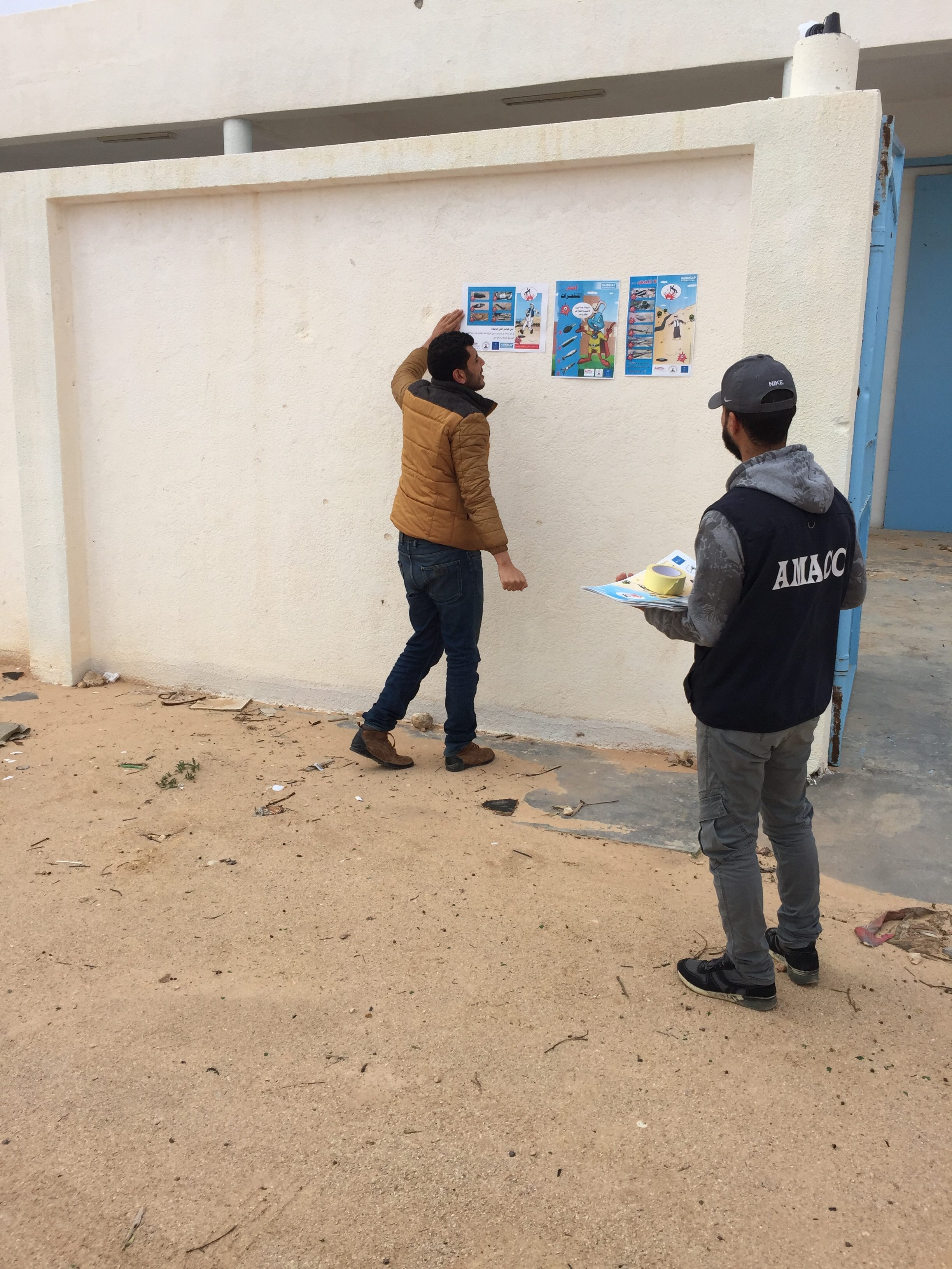
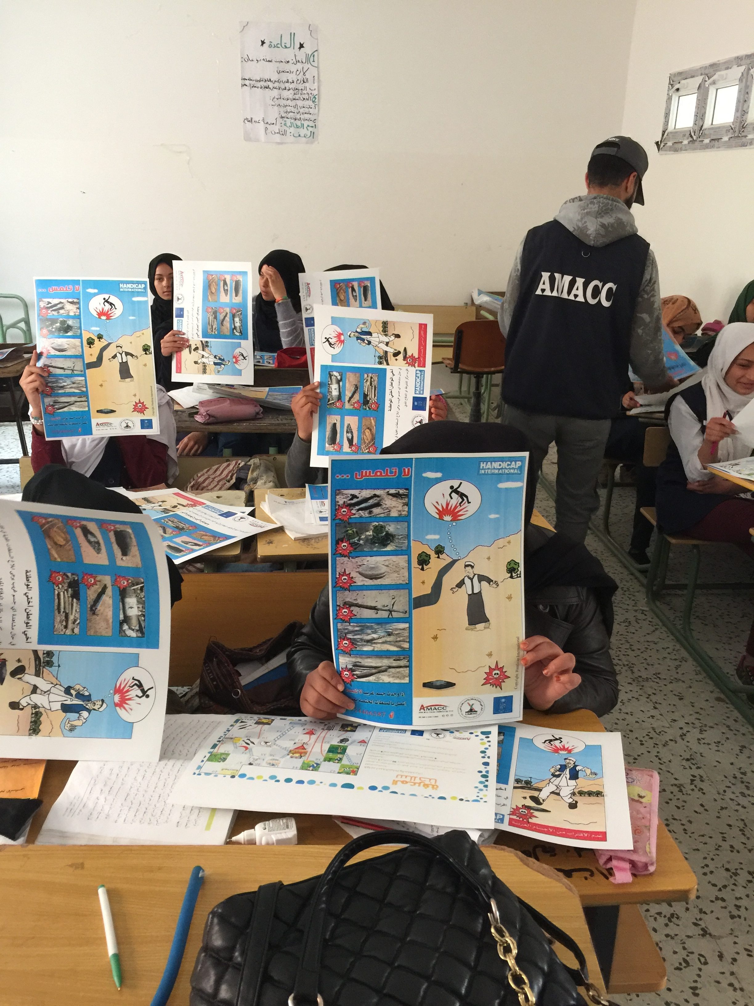
SURVEYS Activities

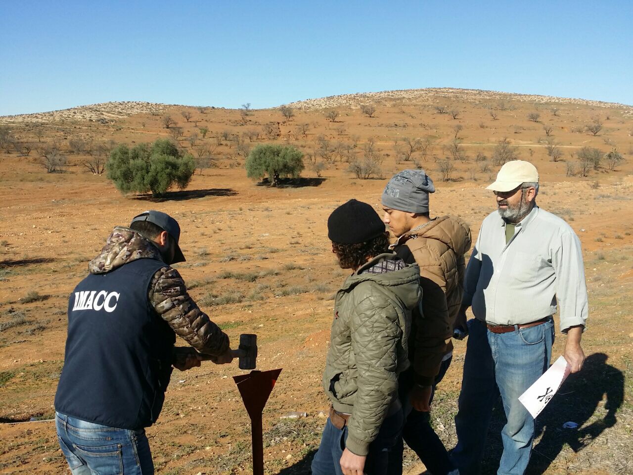
1. Non-technical surveying (NTS),

Or the formal gathering of mine-related information, is required before actual clearance can begin. Impact surveys assess the socio-economic impact of the mine contamination and help assign priorities for the clearance of particular areas.

Doing impact surveys to making use of all available sources of information, including minefield records, collect data about mine victims, and interviews former combatants and local people. Then use the technical surveys to define the hazard area as Confirmed Hazardous Area (CHA) according to direct evidence and Suspected Hazardous Area (SHA) according to indirect evidence and provide detailed maps for the next operations.

2. Technical surveying (TS),

A Task where Technical Survey procedures are used to determine parts of the area with a non-known threat to define the area to a Confirmed Hazardous Areas (CHA). Technical Survey should precede clearance at all Tasks where a separate Technical Survey has not been conducted. Technical Survey must be conducted using clearance procedures to determine the hazard type mines, cluster or unexploded ordnance.
AMACC directed a Non-Technical Survey (NTS) of landmine-and ERW affected groups inside Kiklah region/Libya. the NTS project was to gather more specialized information about the area hazards to be made accessible to the national authorities and implementing partners to use the dataset to:

  • Defines the entire problem in terms of scale, type of area, hazards, and socio-economic impacts on communities;
  • Improves national planning efforts by taking into account better prioritization of assets;
  • Establishes baseline data from which performance can be measured.
  • Permit national authorities to develop national plans concentrating on district and areas of greatest impact;
  • Give implementers baseline impact data that will provide achievement indicators for mine action programs. 

The project (Reduced threat from conventional weapons (CW) for crisis-affected civilians in Killah). The project Outcome is to support UNDP into selecting and rehabilitating safely public infrastructure in Kiklah, Libya, and if Mines/ERW were visible in the grounds of public infrastructure or if there have been incidents involving Mines/ERW and to get evidence of Mines/ERW mapping or clearance in the municipal area. The collected data provides extensive opportunities for research, analyses and further planning.  AMACC has surveyed a total area of approximately 98.9 sq.km, with suspected and confirmed hazardous areas as SHA’s and was involved directly with the war are 50.4 sq.km.

TOP